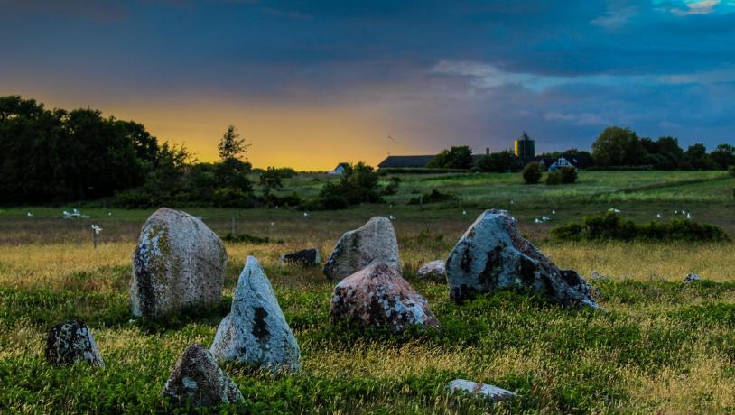
Hiking on the islands of the East Jutland Archipelago
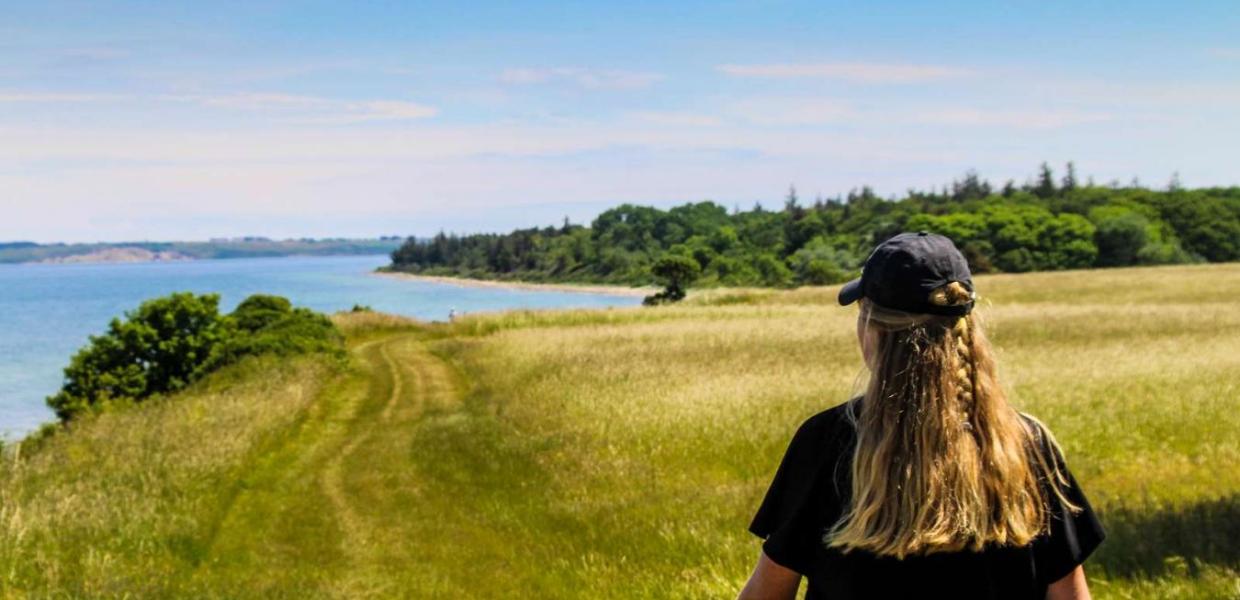
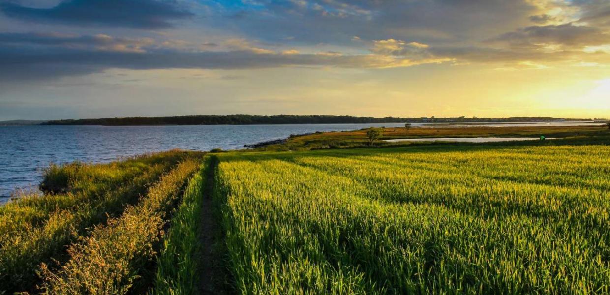
The islands of the Kattegat are beautiful hiking terrain. Here there are peaceful paths along the coast through nature worthy of conservation, and very little traffic, and there are regular ferry departures from Kystlandet’s harbours, it is easy to get there.
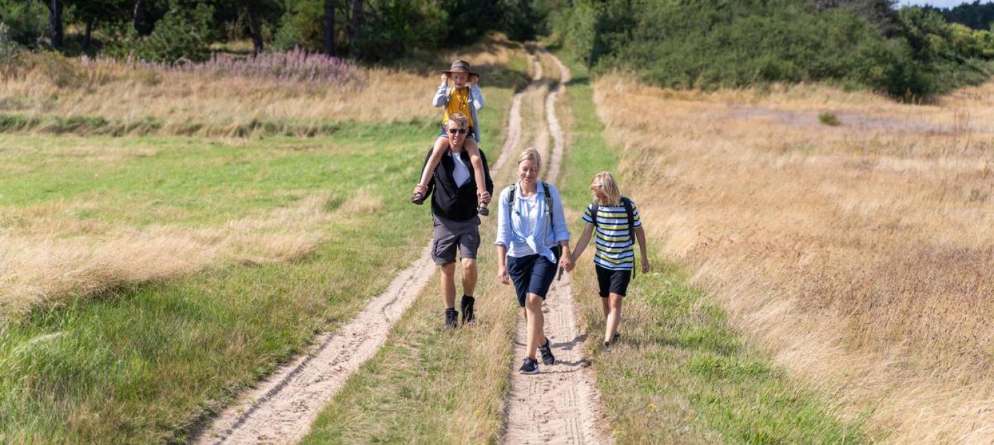
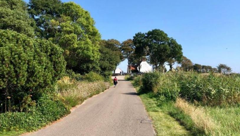
Alone in the world ... almost
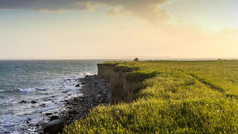
The islands off the coast of East Jutland have fantastic hiking trails in extremely peaceful terrain. Located along the coast, the routes offer a wonderful view on the trip through the characteristic nature that characterises the islands. There are not many people living on the islands, and the vast majority of the area is uninhabited. You will not meet many on your trip around the more remote areas. Here there is plenty of space and peace to think and enjoy life.
At the same time, there is plenty of opportunity to observe the wonderful eastern atmosphere, enjoy a good meal at the cosy eateries or take part in fun joint activities with family or friends.
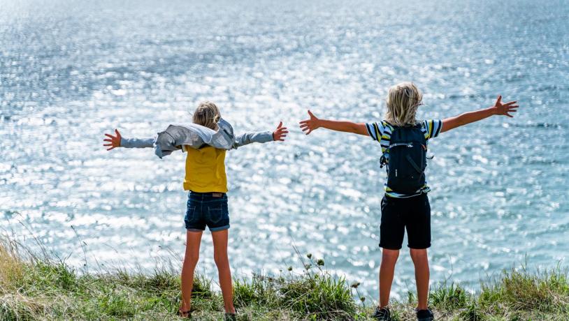
Photo:Destination Kystlandet
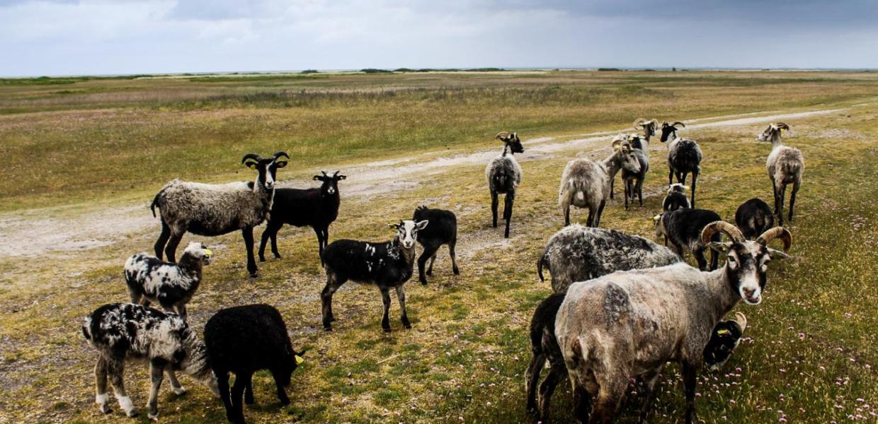
The Kanino - the popular hiking route around Endelave
Endelave is known as the Island of wild rabbits. Therefore, it is also only natural that the island’s hiking route is named after the thousands of cute furry animals that rule the landscape. ‘Kanin’ is Danish for rabbit. The route follows the coast around a 21-kilometre-long trip that also makes a detour past the idyllic town at the heart of the island. Along the way you go through game reserves and protected nature with beach meadow, scrub, heath and forest.
The Kanino trail - Around Endelave (21 km)
Is 21 kilometres too much? Fortunately, Endelave also has shorter signposted routes. The Mini-Kanino is 12 kilometres long, while you can also walk the red and yellow rabbit route of 3 and 5 kilometres respectively. Here everyone can join in.
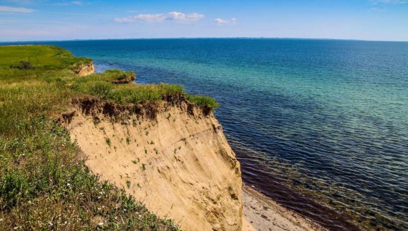
Tunø - On foot around the car-free island
Adorable Tunø also has a walking route that goes all the way around the island along the coast. Due to the island’s limited size, the trip is only 8 kilometres long, but what an 8 kilometres! A large part of the trip goes on top of high slopes on grass paths with an indescribable view of the sea. And in many places there is also a good opportunity to swim at the fine beaches that surround Tunø. Also, make sure to take a walk through the town on the streets inland and feel the charming atmosphere that characterises the island without cars.
Kystlandet has made a treasure hunt on Tunø for children and childish souls. Take the tour around the island and answer questions along the way.
The hiking trail on Tunø (8 km)
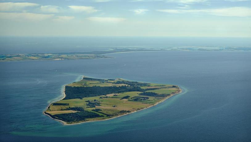
Hjarnø - easily accessible island experiences
Hjarnø is only five minutes by ferry from the mainland in Horsens Fjord. It is easy to get here from the ferry harbour in Snaptun, and there is good opportunities for hiking in the quiet surroundings. There is no actual hiking route on the island, but it is possible to walk along the coast on the south side, and through the town back to the harbour.
Hiking route on Hjarnø (7 km)
Follow the routes on the digital map
All tour suggestions are on our digital map. Open the map on your smartphone and follow the routes in the countryside via GPS. Zoom in and watch the map unfold.